
Johann Ulrich Müller (1653 – 1715)
was born in Ulm/Germany. Little is known about the first phase of his life. In 1674 he started to study medicine. Before he worked in the „Ulmer Zeughaus“ (Armoury) in 1690 he had written some books on several subjects already. Later he practiced as a building surveyor and cartographer for the military before he retired to the Monastery Elchingen near Ulm where he studied Mathematics, Astronomy and Instrument Manufacturing.
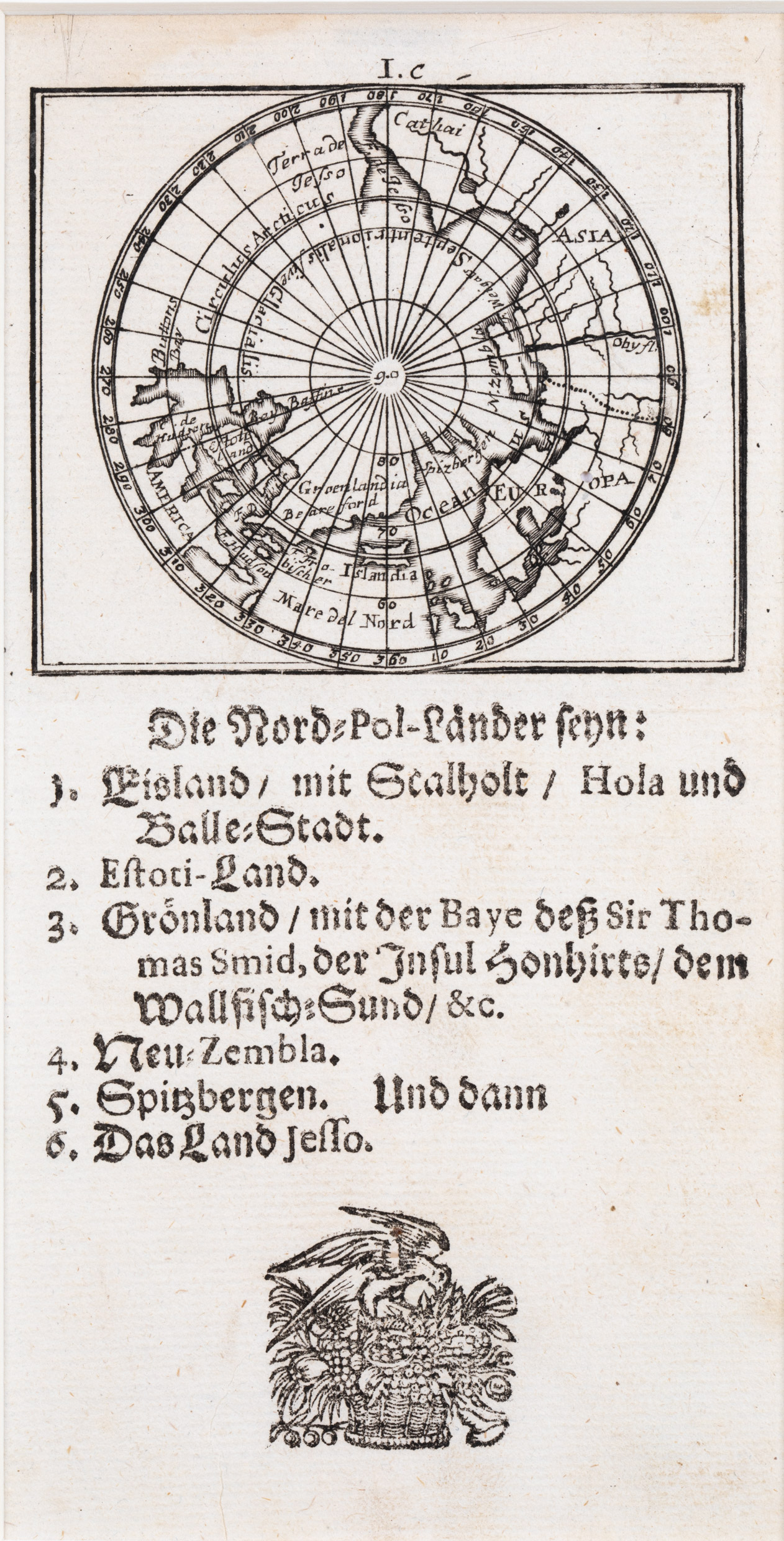
In 1702 his pocket atlas – the first one in Germany – with the title „Neu-außgefertigter Kleiner Atlas. Oder Umständliche Beschreibung deß gantzen Erden=Cräyßes“ engraved by Gabriel Bodenehr and published by Johann Philip Andrea appeared on the market, in two volumes with 163 small copper print maps of 65 x 75 mm size in the upper half of the sheet with explanations underneath. It is an extremely rare atlas which contains this map.
Map details
The map shows the North Pole and the regions around. Underneath there are ten lines of describing German text.
„Islandia“ is drawn without names and symbols.The Arctic Circle is running through the middle of the island which is marked too far south.