Johann Angelus (von) Werdenhagen (1581 – 1652)
was a German professor, philosopher, political scientist and diplomat. It seems that he has been an unusual person. Even as a child he was matriculated at the University of Helmstedt. As a young man he has been at eight universities but he always refused to earn an academic degree. In 1616 Johann was appointed Professor of Ethics in Helmstedt. On one hand he was pugnacious spirit and his publications provoked fierce debates, on the other hand he acted as envoy, arbitrator and privy councilor.
Map Details
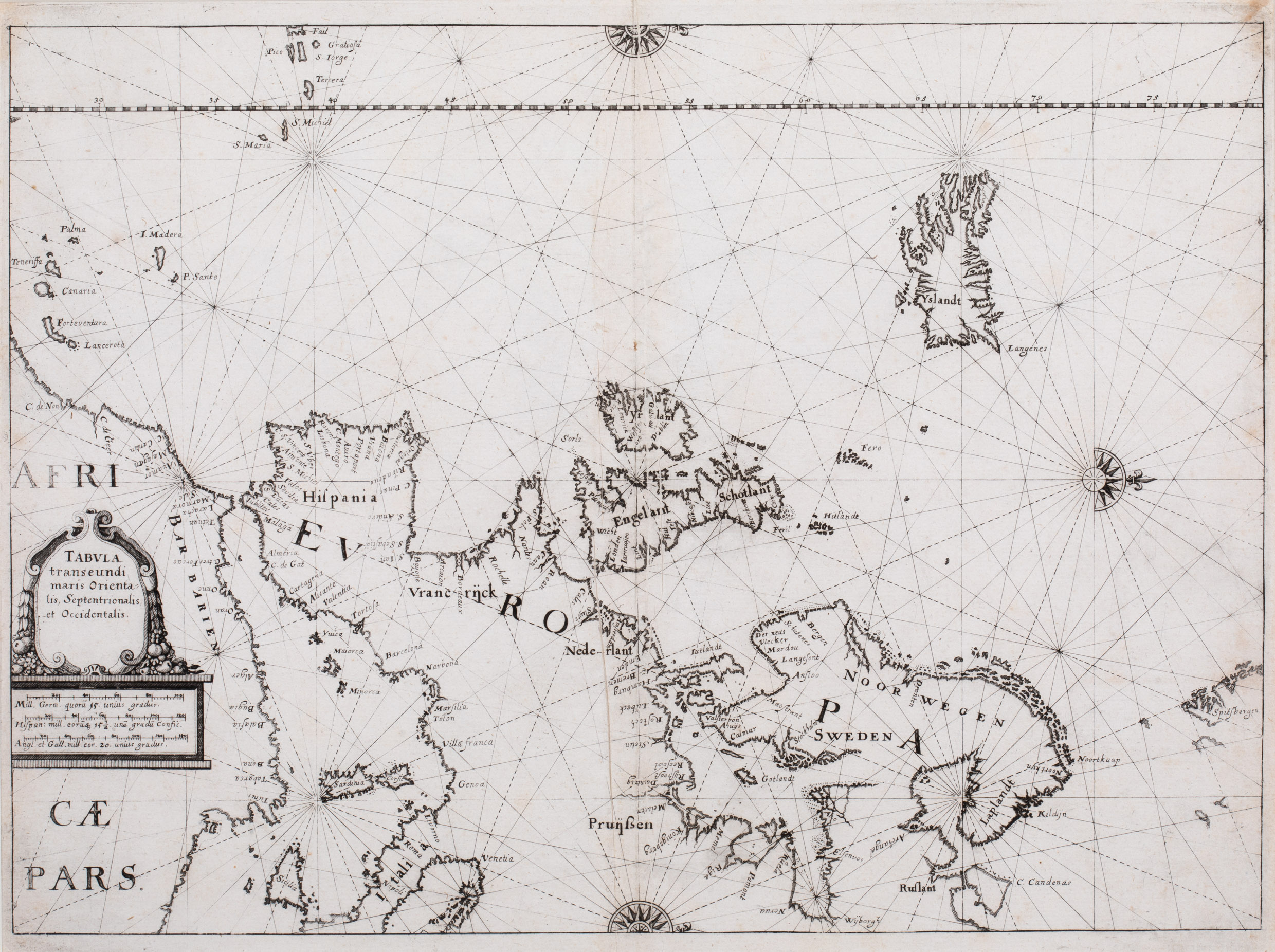
The copper print map is taken out „De rebus publicis Hanseaticis tractatus cum urbium earum iconismis, descriptionibus, tabulis geographicis, et nauticis, nec non inductione generali Rom. Imper Germ. novoter auctus et reuisus“, published as part of „Theatrum
Europäum“ by Matthaeus Merian (1593 – 1650) in Frankfurt, 1641. Werdenhagen copied this map from the Maritime Atlas „Zeespiegel“ by Guillermo Blaeu (1571 – 1638) in Amsterdam, 1623 and scaled the map down to the size of Merian‘s book.
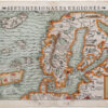
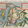
The map is unusual in two aspects: the perspective, the image section and the rareness. The map is west-orientated and shows „Africa Pars“ and „Europa“: in Africa only the northern part, in Europe the northern, the central and most of the southern and the eastern part. The map reaches out into the Atlantic, showing the islands close to the African west coast (Canary Islands and Madeira), the Azores and Iceland and Spitzbergen in the North.
The map is decorated with a beautiful title cartouche, three major compass roses in the West, in the North and in the East and many minor ones connected by rhumb lines.
Iceland is drawn without place-names. Only the name of the island („Yslandt“) is written across the interior.