Thomas Conder (1747 -1831)
was an English map engraver and bookseller active in London during the late 17th and early 18th centuries. He produced a large corpus of of maps and charts, usually in conjunction with other publishers of his day, including Kitchin and Wilkinson. Little is known about his life. Thomas Conder was succeeded by his son Josiah.
Map details
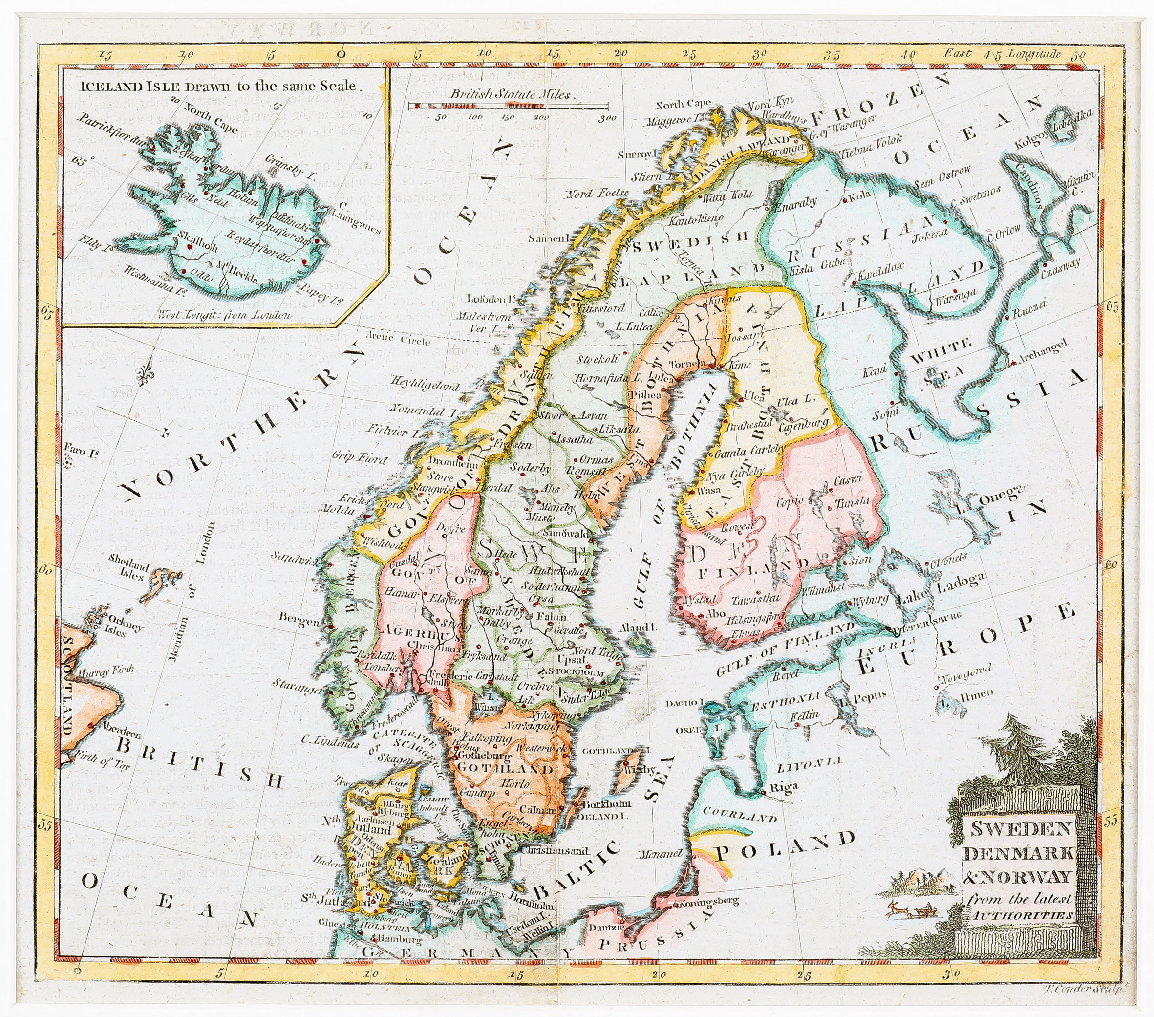
The source of this map is unknown but the author’s name is to be found underneath the map in the right corner: „T. Conder Sculp.“ The vignette title cartouche in the lower right is decorated by trees and a reindeer drawn sled on the left.
The map shows Scandinavia, the Baltic region, „Russia in Europe“, Poland and the northern part of Germany and Prussia, the Shetland and the Orkney Islands and the eastern part of the Faroe Islands and Scotland, including a pentagonal inset map of Iceland. A mileage scale is to be found in the center of the upper part of the map.
The Arctic circle is only depicted in Scandinavia and Russia but not in Iceland.
„ICELAND ISLE is drawn to the same scale“ is written on top of the inset map which is of the Knopf type. Along the coastline there are several place names but in the interior only three: Hekla („M‘t Heckla“) and the bishoprics Skalholt and Holar („Hola“), both without church symbols.


