
Anonymous
After Weimar Geographisches Institut
Map details
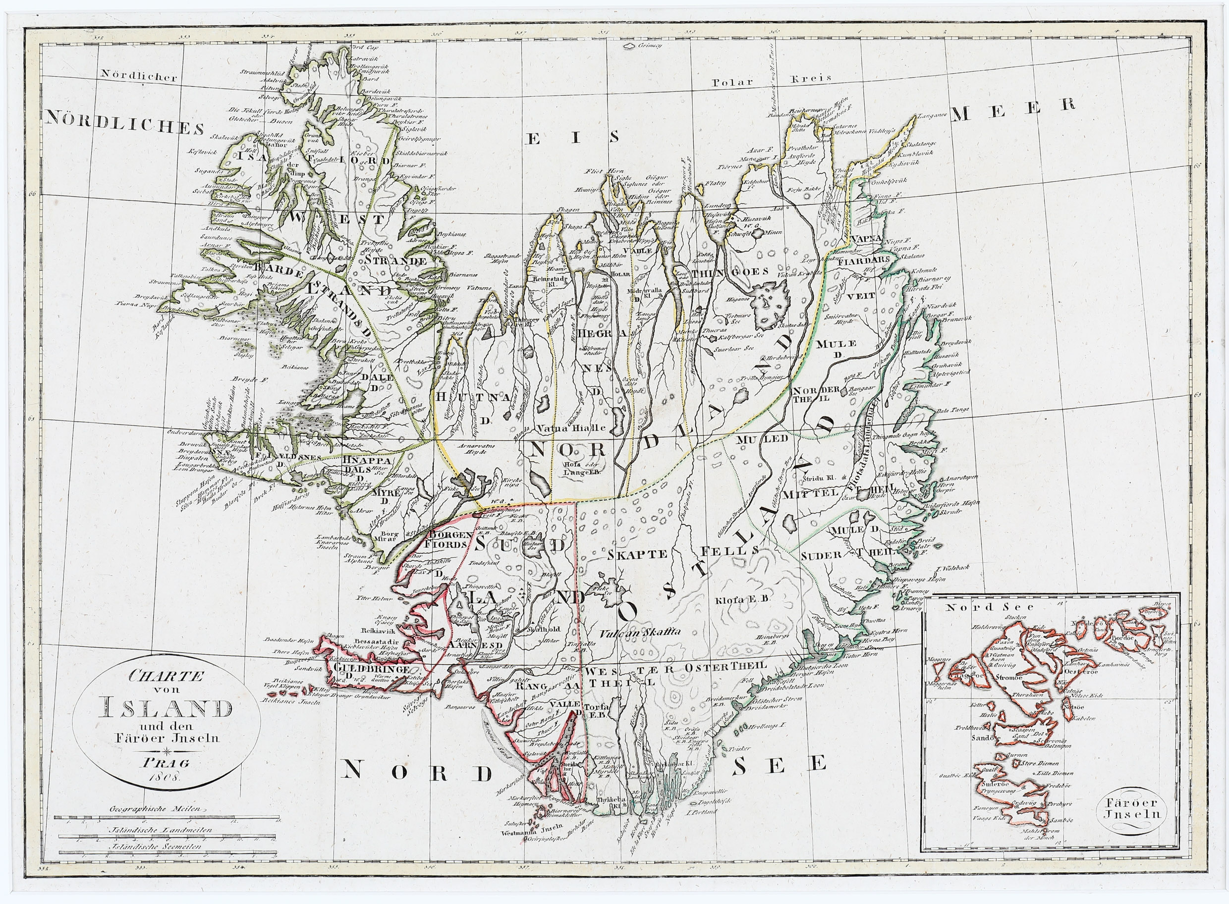
This rare map appeared in Prague in 1808 and looks like a reduced copy of a map published by Johann Christoph Matthias Reinecke in Weimar „im Verlage des Industrie Comptoirs“ in 1800.
The map shows Iceland and the Faroe Islands as inset in the lower right corner. The map of Iceland is based on a survey map by Verdun de la Crenne of 1776 which was the outcome of a scientific expedition to the North Atlantic.Iceland looks strange, as if east and west pressed together, with the north gone up and the south down, the country having lost about half of its area. „The position and the coastline of the country is taken from the map of Verdun de la Crenne , but place-names and topography for the most part from the map of Jon Eiriksson and Olafur Olavius from 1780“ (islandskort.is).
Iceland is simply divided by couloured lines into the four geographical regions. The bishoprics Skalholt and Holar are depicted with church symbols but it seems strange that there is another „Holar“ southwest of „Skalhold“. Hekla is missing but where the volcano is located there is a „Vulcan Skaffta“. Glaciers are not named. Astonishingly the Arctic Circle is running nearly correctly.