
Johann Walch (1757 – 1815)
was a German painter, engraver, cartographer and publisher. Born in Kempten (Allgäu), he worked with his father in law Johann Martin Will. In 1789 he purchased the heritage stock of the publishers Matthäus Seutter and Tobias Conrad Lotter, 208 copper plates and nearly 25 thousand single maps. With this material he expanded the company into the famous map publisher „Joh. Walch‘sche Landkarten Handlung“, later named „Druckerei Joh. Walch“.
Map details
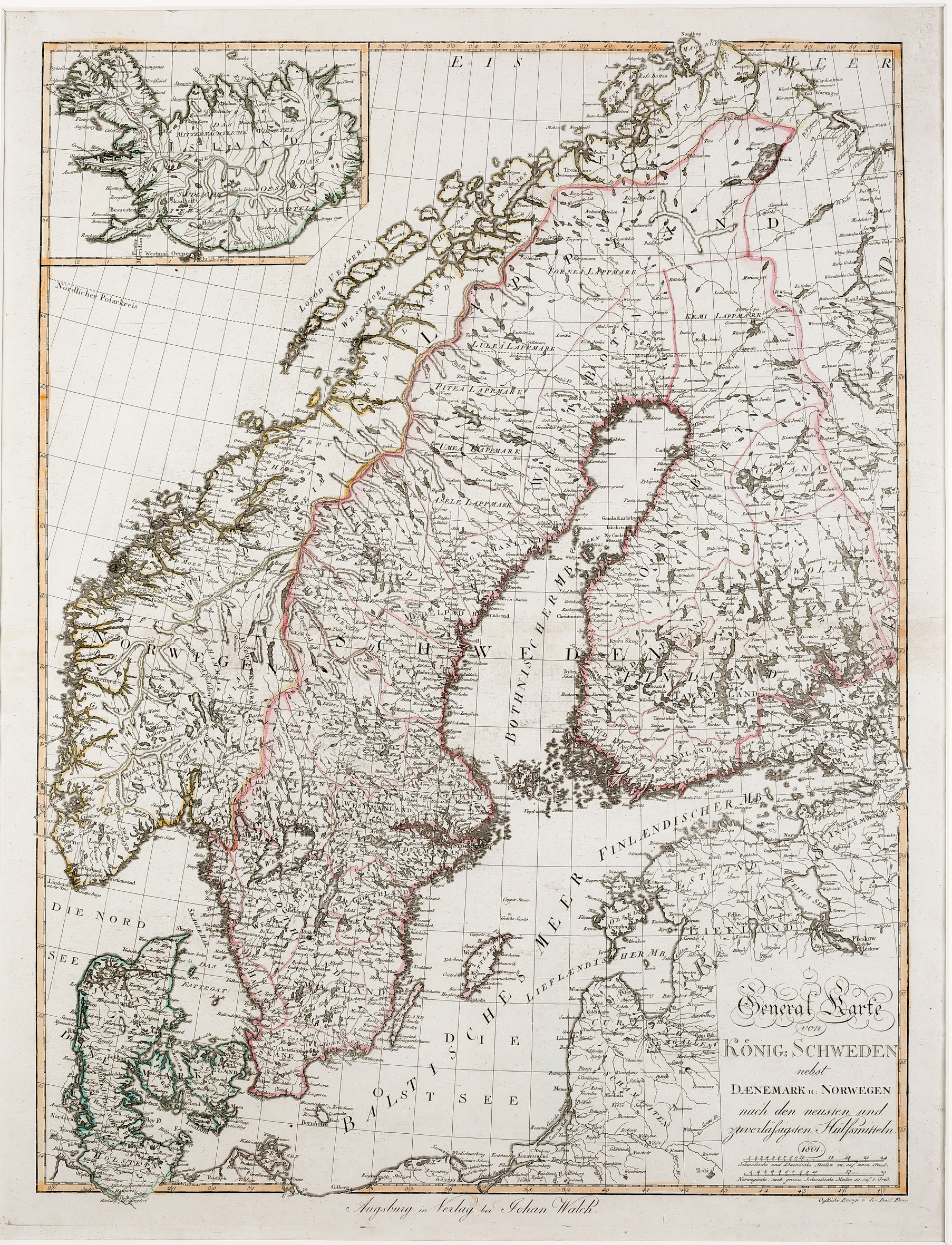
The title of this beautiful rare map is located in the lower right corner with two distance scales underneath. The map depicts Scandinavia, the Baltic and the neighbouring countries, with an inset map of Iceland in the upper left corner. The main part of the map is very detailed.
In the inset map of Iceland which is the Knoff type there are only very few place-names: „Skaalholt“ (Skalholt) and „Holum“ (Holar), the bishoprics, and „Hekla“ (just the name, not highlighted). The most remarkable is the North/South separation between „Das mitternächtliche Viertel“ (most likely means Land of Midnight Sun) and the „Das südliche östliche Viertel“ (south-east region). The Arctic Circle („Nördlicher Polarkreis“) is marked in the main part of the map but not in Iceland.