
Charles-Francois Delamarche fils (1740 – 1811)
was the most successful French cartographer and globemaker of the late 18th century.
He styled himself the „successeur de MM. Sanson et Robert Vaugondy, Geographes du Roi et de M. Fortiin, Ingenieur-mecanicien du Roi pour les globes et les spheres“.
Delamarche was the first French globemaker to aim his product squarely at the commercial market. He succeeded not only by cheaply produced globes but also by re-working and re-printing maps of other cartographers, e.g. Robert Vaugondy. His son Felix followed his father in his cartographic business. Even his life dates are unknown.
Map details
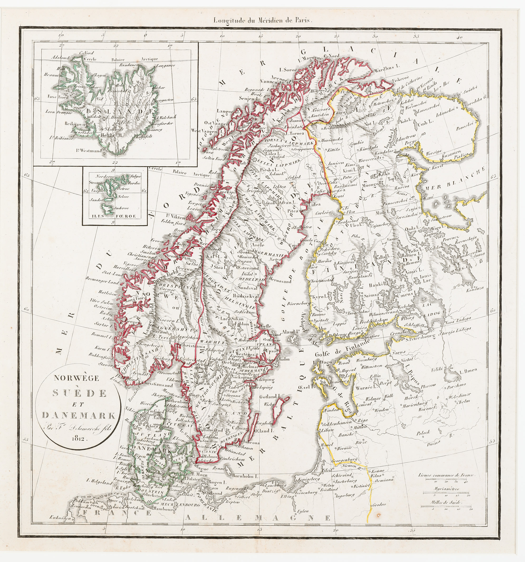
This map seems to be very rare and unknown as there no information about it could be found. The year 1812 is printed in the round title cartouche in the lower left corner and „Delamarche fils“ is named as the author.
The map shows Scandinavia, the Baltic region, Poland (not printed) and the northern part of Germany and France, including to inset maps in the upper left corner covering Iceland and the Faroe Islands. Three distance scales are placed in the lower right corner. The Arctic Circle is marked in Scandinavia and also in Iceland.
„Islande“ is written across the depiction of the island. The map of Iceland is of the type which was common on many sea charts in the 18th century. Along the coastline there are many names and some in the interior, amongst them „Hekla M.“ (not highlighted as volcano) and the bishoprics Skalholt written completely wrong („Skallholdt“) and Holar („Hola“), the first with a church symbol, the second without.
The Arctic Circle is wrongly marked south of Cape North in the Westfjords. It crosses Grimsey but the island is not depicted on the map.