
Reverend Richard Turner (1711 – 1791)
was born in London and educated at St. John’s College in Cambridge. After completing his studies he decided to become a missionary and went to Sweden in 1786. There he worked with the Moravian Church, a protestant denomination that had a strong presence in the country. He spent several years travelling around Sweden, preaching and teaching the gospel. In 1797, he published his first map titled „A New Map of Sweden and Norway, with part of Denmark and Russia“.
Turner used his extensive knowledge of the region, as well as other information from other sources, to create maps which were both informative and aesthetically pleasing. They were well received and became a popular resource for travelers and scholars.
Map details
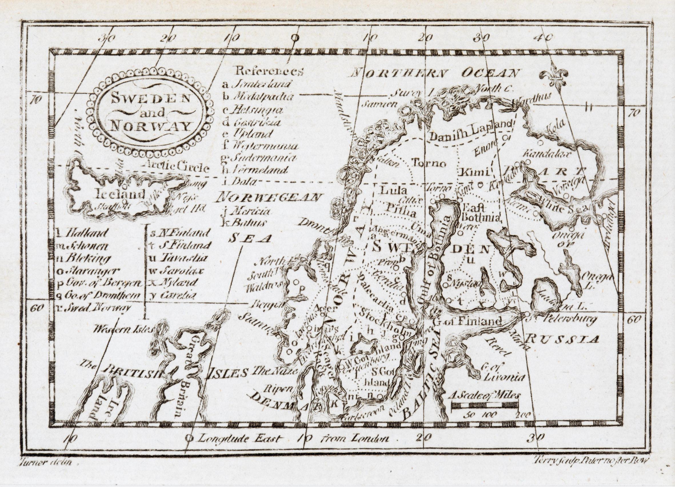
A rare miniature map which comes of Turner‘s pocket atlas „A New and Easy Introduction to Universal Geography“, subtitled „In a Series of letters to a Youth at School“. Many editions were published between 1780 and and 1819, some after Turner‘s death. This map was in the 8th edition published by C. Dilly and others, engraved by Garnet Terry of Paternoster Row in London. The signatures of Turner and Terry are placed below the bottom neatline of the map.
This map resembles map No. 172 from the same author. Most conspicuous is the different font. Another difference is that in map No. 172 the signatures of Turner and Terry are missing.
The title of this map is placed in a decorative oval cartouche in the upper left corner which is much more decorative than in map No. 172 and a distance scale underneath „Russia“ in the lower right corner and not further left.
The map shows Scandinavia, the northern parts of the British Isles and Ireland, „Part of Russia“ and the Baltic region. Place names are indicated by letters which are shortly explained in the left and middle part of the map.
Different to map No. 172, on this map there are some place names along the coastline of Iceland and two in the interior: the bishoprics Skalholt and Holar („Hola“) without church symbols.
The Arctic circle runs a bit too much south.