
Pierre Duval (1618 – 1683)
was a French geographer, cartographer and publisher who worked in Abbeville and in Paris. He was nephew of Nicolas Sanson, the chief pioneer of cartography in France, from whom he learnt the mapmaker‘s art and skills. Duval worked with his uncle at the Royal Court and was appointed „Geographe Ordinaire du Roy“ by Louis XIV in 1650. He published a wide range of atlases and individual maps.
Map details
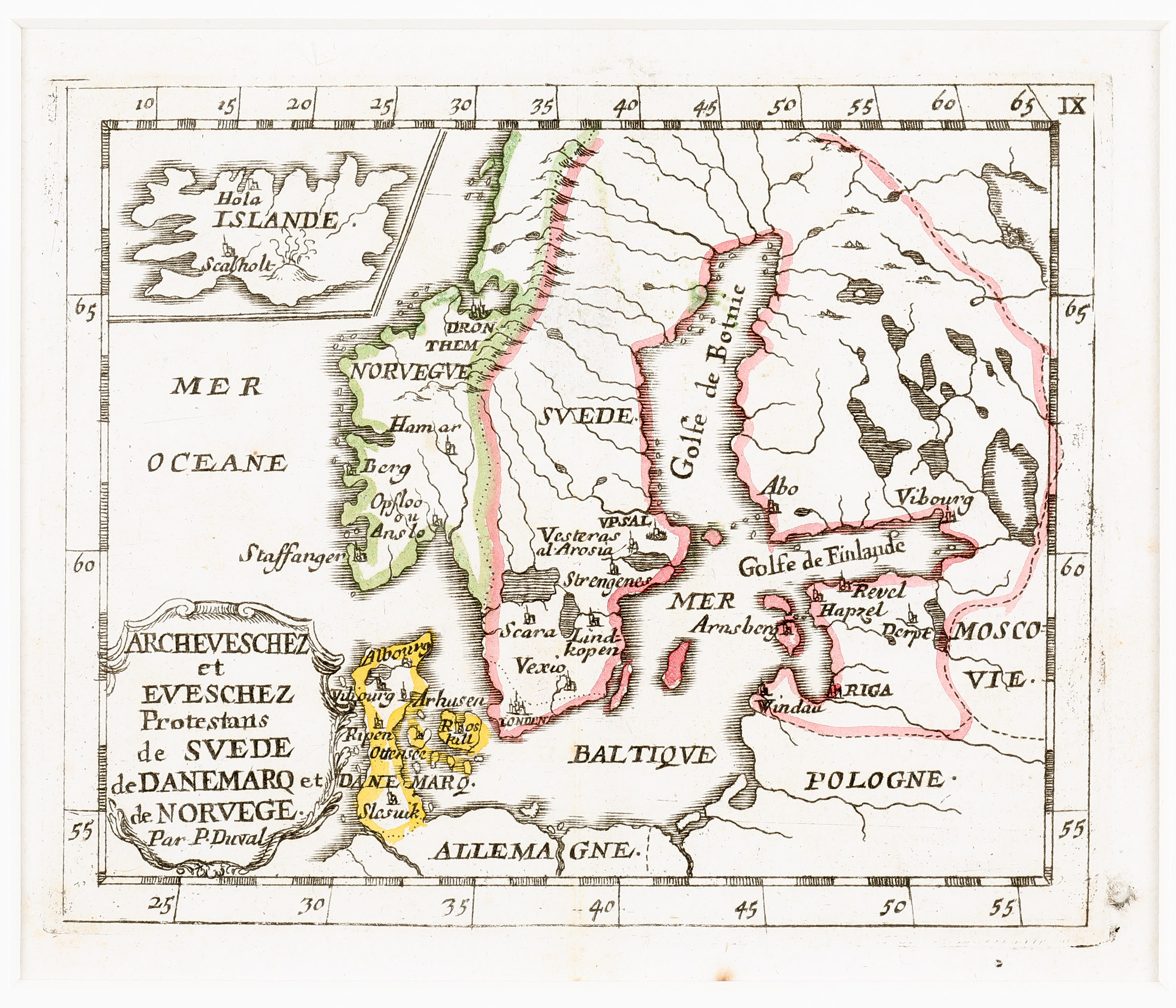
This very rare map is taken from Duval‘s „Le monde christien ou sont les cartes des archeveschez et des eveschez de l‘univers“, the ecclesiastical atlas published in Paris in 1662.
The map shows Scandinavia, the Baltic, „Moscovie“, Poland and northern Germany, including an inset map of Iceland in the upper left corner. The whole map is rather superficial with only very few place-names. The most impressive detail is the title cartouche in which the author („Par P. Duval“) is named.
The interior of Iceland is nearly empty. The only place-names stand for the bishoprics Skalholt and Holar and the sketch of a mountain most likely means the volcano Hekla.