
Antonio Zatta (1722 – 1804)
was an Italian cartographer and the most prominent map publisher of the late 18th and early 19th century, working in Venice. The major contribution of Zatta is the four volume world atlas „Atlante Novissimo“, published between 1779 and 1785. The illustrations were designed by Giovanni Pitteri and engraved in copper by Giuliano Zuliani. Besides his publications nothing is known about Zatta’s life.
Map details
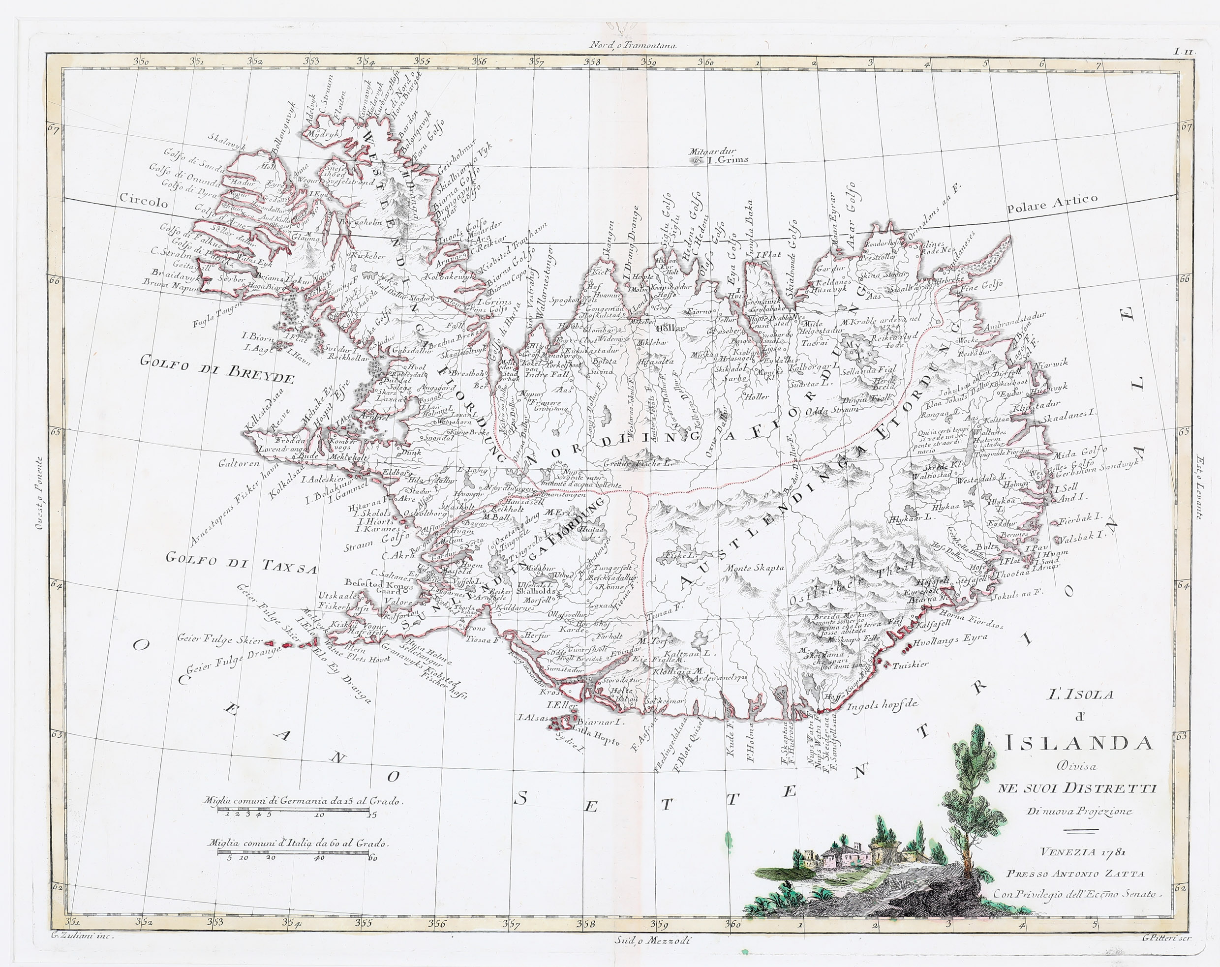
This map, taken from Volume two of the Zatta’s world atlas, is drawn after the Homann Heirs‘ map of 1761, in the Knoff style of mapping Iceland. Ir is finely engraved with a decorative title cartouche to the bottom right hand corner illustrating a walled village amongst trees and with two distance scales in the lower left quadrant.
Iceland is in a lesser scale than on the Homann Heirs‘ map and also a lower level of information. The glaciers are missing completely as well as Hekla, the famous volcano. The bishoprics Skalholt („Scalholds“) and Holar („Hollar“) are marked with a symbol which looks like a sun. The Arctic Circle is drawn too far south.